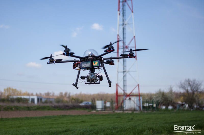
Inspection and monitoring of telecommunication and GSM pillars is an area in which the use of aerial photography using drones (UAV) finds applicability due to equipment reliability. Using photo-video cameras in the visible or infrared spectrum can highlight the updated status of masts and equipment mounted on it.


Prev
Next
Applicability of Aerial Photography for Telecommunication and GSM Pillars:
- Quality inspection equipment;
- Determination of visibility in wooded areas;
- Preliminary analysis of the land;
- Stage construction exhibition;
- Panoramic images;
* AERIAL PHOTOGRAPHY:
Orthophotomaps and Photogrammetry
3D Terrain Model
Oblique and Panoramic Images
Electrical Network Monitoring
Multispectral Photos
Infrared Thermal Photos
Industrial and Residential Buildings
Wind Farms and Photovoltaic Parks
Agriculture Monitoring
Protected Natural Areas