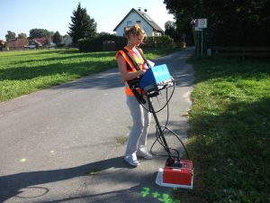
 Geophysical investigations through georadar method (GPR) to identify and map buried utilities in different locations in Frankfurt, Saarburg, Wunstorf, Eichstetten, Germersheim – Germany.
Depending on working conditions and on beneficiary’s requirements, there have been used several types of antennas at different frequencies. The results have allowed plans with the route utilities, burial depth and estimation of the pipes diameter.